
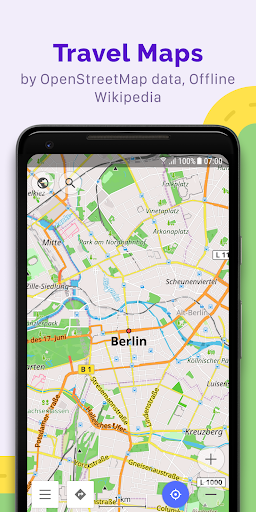
Imagine exploring new trails without worrying about signal, or planning a road trip with custom options! 🏞️ OsmAnd+ turns those dreams into reality, offering robust offline maps and navigation powered by OpenStreetMap. Millions rely on it daily for adventures and commutes, with over 1 million downloads worldwide!
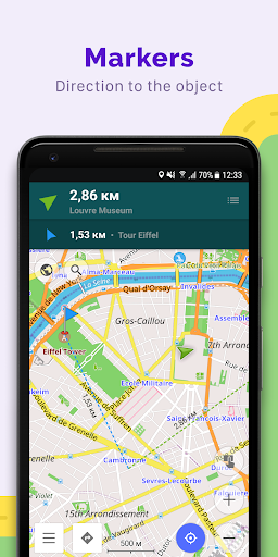
🌍 Download it today and enjoy seamless offline travel that puts you in control of your journey. 🚀 Your next adventure awaits, no connection needed! 🗺️ Offline Maps & Navigation Navigate anywhere, even without internet!
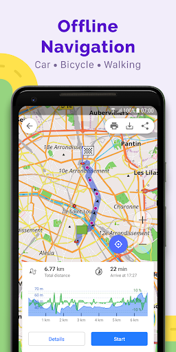
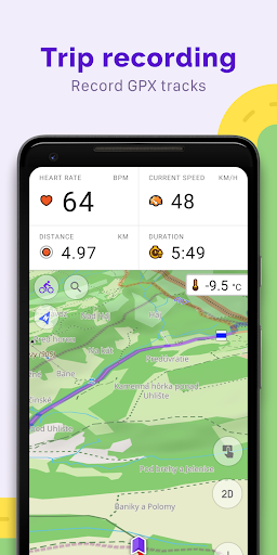
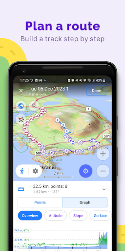
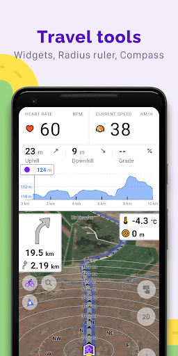
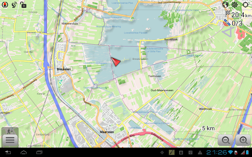
📶 Perfect for hikers, cyclists, and road-trippers heading to remote areas. Use detailed maps, customized routing (including slopes and detours), and turn-by-turn directions optimized for cars, bikes, and pedestrians. 🚗🚴♀️🚶♂️ GPX Track Management Record your journeys or follow existing routes through GPX support.
✍️ Excellent for geocachers, hikers, and cyclists wanting to track their adventures or find pre-made trails. View elevation changes and share your tracks effortlessly. 📍 Customizable Map Views Tailor the map to your activity!
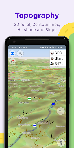
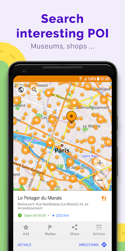
🎨 Choose from touring, marine, ski, or off-road modes. Display points of interest like attractions and restaurants, or enable contour lines for detailed terrain analysis. ⛰️